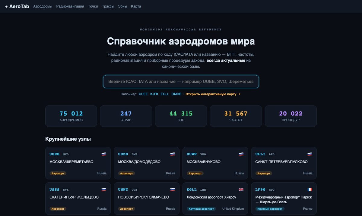
Database updates for Garmin GPSMAP 396
A colour portable navigator with XM weather reception. A current navigation database on the AIRAC cycle — unlock code and load onto the receiver through the AeroTab client area.
Which databases are updated on the Garmin GPSMAP 396
This receiver supports 3 databases. Each updates on its own cycle.
Navigation database
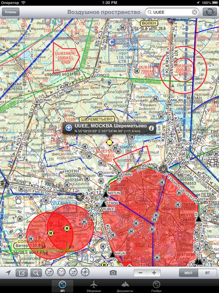
Airports, runways, radio navigation aids, waypoints, airways, frequencies and instrument procedures in ARINC-424 format.
◷ AIRAC cycle · 28 daysObstacle database
Masts, towers, stacks, power lines and other man-made obstacles with heights — for terrain and obstacle proximity alerts.
◷ 56 daysBasemap
Terrain underlay: coastlines, rivers, roads and settlements — the backdrop beneath the aeronautical picture.
◷ RarelyNavigation database regions for the Garmin GPSMAP 396
The Garmin GPSMAP 396 uses regional navigation databases. Available regions: United States, Europe, Pacific. Choose the region for your route.
- USUnited States. US and territories
- EUREurope. European region
- PACPacific. Asia · Pacific · Australia
Updating the Garmin GPSMAP 396 in four steps
Subscribe to the cycle
Choose the database type and AIRAC cycle for the Garmin GPSMAP 396 in the client area.
Connect the receiver
Connect the Garmin GPSMAP 396 over USB. The serial number is read automatically from the device file.
Unlock code
The client area issues a code bound to your receiver serial number and the cycle.
Database load
The database files and the code are written to the Garmin GPSMAP 396 — the receiver applies the update at power-on.
Update your Garmin GPSMAP 396 databases
AIRAC cycle subscription, unlock code and database load — in the AeroTab client area.